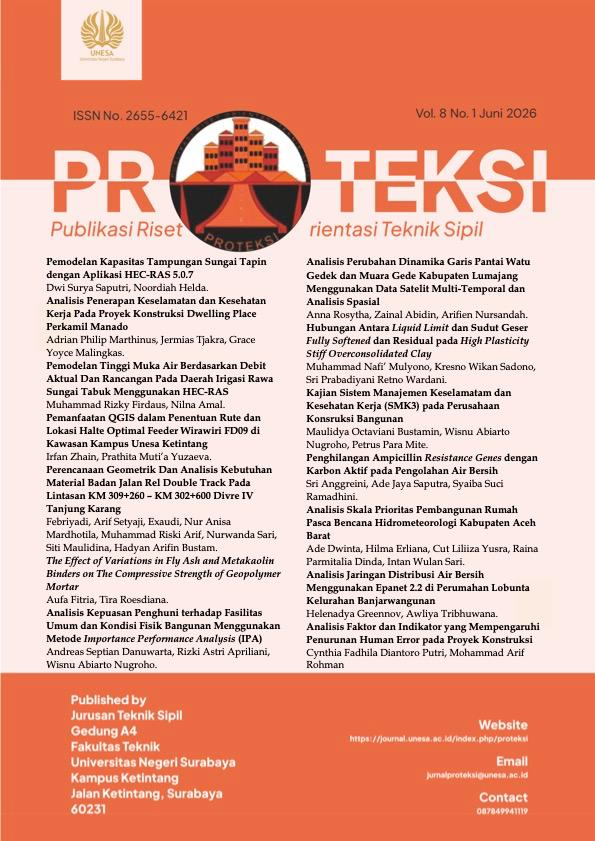
The Utilization of QGIS in Determining the Route and Location of the Optimal Feeder Wirawiri FD09 Bus Stop in the Unesa Ketintang Campus Area
Pemanfaatan QGIS dalam Penentuan Rute dan Lokasi Halte Optimal Feeder Wirawiri FD09 di Kawasan Kampus Unesa Ketintang
Keywords:
Public Transportation, Wirawiri Feeder, QGIS, Accessibility, Unesa Ketintang CampusAbstract
Student commuting to the Unesa Ketintang Campus often causes traffic congestion due to the dominance of private vehicles and underutilized public transportation. This study aims to determine the optimal route for the Wirawiri FD09 feeder bus and strategic stop locations through Origin-Destination Matrix and GIS-based Multi Criteria Analysis. A quantitative descriptive-analytical approach with spatial analysis using QGIS was employed to analyze travel patterns, demand potential, and service accessibility. The results indicate that 67% of respondents (254 students) are willing to shift to the feeder service if the route enters the campus and stops are located near faculties. Based on spatial analysis with a 300–400meter walking radius, this study recommends adjusting alternative routes into the campus and establishing four new stops: the Informatics Engineering, Tennis Court, Faculty of Economics and Business, and Front Gate stops. The application of QGIS effectively provides measurable, data-driven spatial recommendations. These route and stop adjustments are expected to enhance academic mobility efficiency and support sustainable urban transportation systems.
References
Cats, O., West, J., & Eliasson, J. (2016). A dynamic stochastic model for evaluating congestion and crowding effects in transit systems. Transportation Research Part B: Methodological, 89, 43–57. https://doi.org/10.1016/j.trb.2016.04.001
Daniels, R., & Mulley, C. (2011). Explaining walking distance to public transport. World Symposium on Transport and Land Use Research, , Whistler Canada, July, 28–30.
Farber, S., & Fu, L. (2017). Dynamic public transit accessibility using travel time cubes: Comparing the effects of infrastructure (dis)investments over time. Computers, Environment and Urban Systems, 62, 30–40. https://doi.org/10.1016/j.compenvurbsys.2016.10.005
Kasim, M. R., & Jihad, A. (2024). Analisis Integrasi Angkutan Kota sebagai Feeder Angkutan Bus Trans Mamminasata Berdasarkan Tujuan dan Sebaran Pergerakan. Jurnal Kridatama Sains Dan Teknologi, 6(01), 99–112. https://doi.org/10.53863/kst.v6i01.1015
Kementerian Pekerjaan Umum. (2014). Pedoman Perencanaan, Penyediaan, dan Sarana Jaringan Pejalan Kaki di Kawasan Perkotaan. Menteri Pekerjaan Umum Republik Indonesia, 2013, 8.
Litman, T. (2020). Evaluating Public Transportation Health Benefits Summary of Findings. Victoria Transport Policy Institute, April, 1–36. [email protected]
Nursita, I., Yulianto, B., & Legowo, S. J. (2017). Analisis Potensi Demand, Ability To Pay (ATP) dan Willingness To Pay (WTP) BST Koridor 1 dengan adanya Sistem Contra Flow di Jalan Brigjen Slamet Riyadi pada Sekolah. E-Jurnal MATRIKS TEKNIK SIPIL, 75–82. https://jurnal.uns.ac.id/matriks/article/view/36940
Primatama, Mega; Raushanfikra, A. (2023). Laporan Peningkatan Aksesibilitas. Institute for Transportation and Development Policy (ITDP), November.
Vuchic, V. R. (2005). Urban transit operations, planning and economics.
Downloads
Published
Issue
Section
License
Copyright (c) 2026 Irfan Zhain; Prathita Muti'a Yuzaeva

This work is licensed under a Creative Commons Attribution-NonCommercial 4.0 International License.
 Abstract views: 159
,
Abstract views: 159
, PDF Downloads: 183